Project
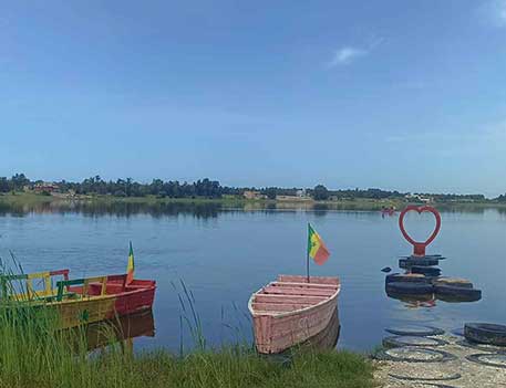
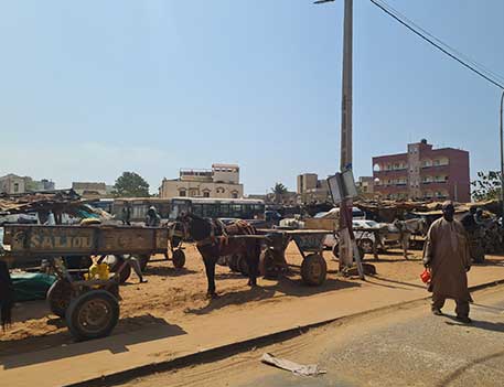
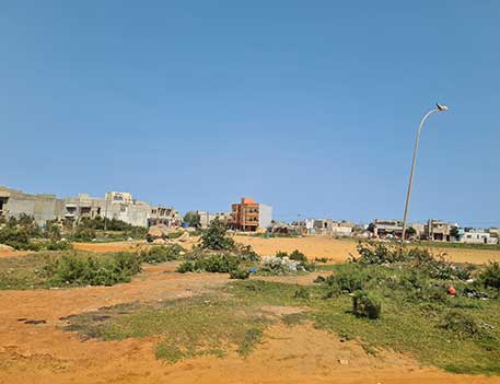
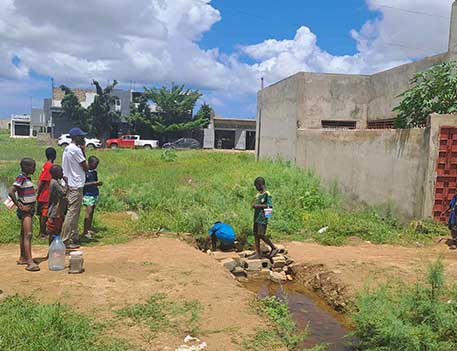
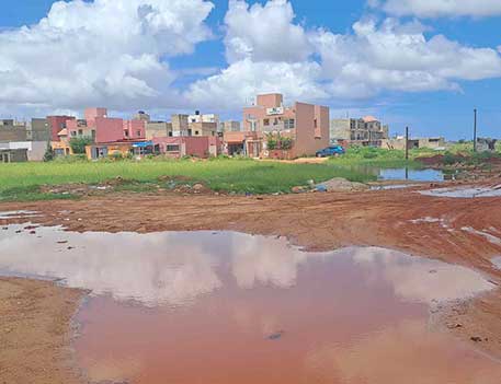
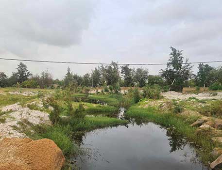
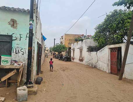
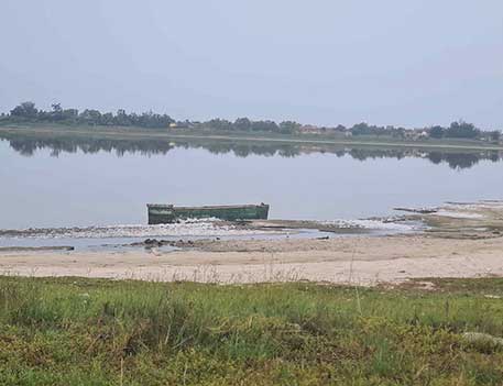
The study falls under component 1 “Integrated urban planning and management taking into account climate risk and sustainability” of PROGEP 2. The winter of 2022 revealed that flooding is becoming increasingly severe in the Dakar peri-urban area. This amplification is the direct consequence of i) climate change, which is leading to an amplification of extremes in terms of both drought and flooding ii) galloping urbanization, which is reducing the extent of the Niayes. The study area is located in the Greater Dakar region, and is the preferred extension zone for the capital's urban sprawl. To ensure coherence between the site's constraints and the extensions of the urban area, the study develops a land-use planning and operational urbanism approach based on the superimposition of risk mapping with the projection of water drainage infrastructures, in order to then develop a detailed urbanism plan responding to a vision of sustainable development and adaptation to climate change.
Our mission
- Hydrological study and hydraulic modeling of runoff: foundation of the study and basis for construction of the future PUd
- Overall design process of the Flood Risk Management Plan - Master Drainage Plan
- Construction of the territory's green and blue network
- Development of the “Sustainable City Strategy
- Preliminary draft of the detailed urban development plan for the entire territory, development of the Priority Investment Plan,
- Strategic Environmental and Social Assessment
- Development of the Communication Plan
- Organization and facilitation of capacity-building workshops for administrations
- Production of all graphic deliverables in GIS format and development of the GIS database.